


Specialising Masters and Post Graduate Programmes
According to target students and main objectives, Politecnico di Milano offers several post-graduate programmes differently structured, with variuous learning approaches (also distance learning or from abroad, and also international programmes).
I and II Level Specialising Masters are courses delivered by Politecnico di Milano, which last minimum 12 months and provide 60 ECTS, corresponding to 1,500 hours of study.
Post graduate programmes are delivered by Politecnico di Milano. They last from 3 to 9 months. They provide from 15 to 45 ECTS and from 375 to 1.125 hours of study in total.
Continuing Education Courses
Politecnico di Milano delivers continuing education courses which last from one day to one week, or a longer period of time if needed. At the end of these courses students receive a Certificate of Attendance. These courses do not require any academic qualification and are designed for those who want to gain a deeper knowledge on specific hot topics.
-
-
-
From November 2024
executive master of business administration (international emba flex)
- Edition 8 FLEX INTERNATIONAL
- 1st Level Specializing Master
-
-
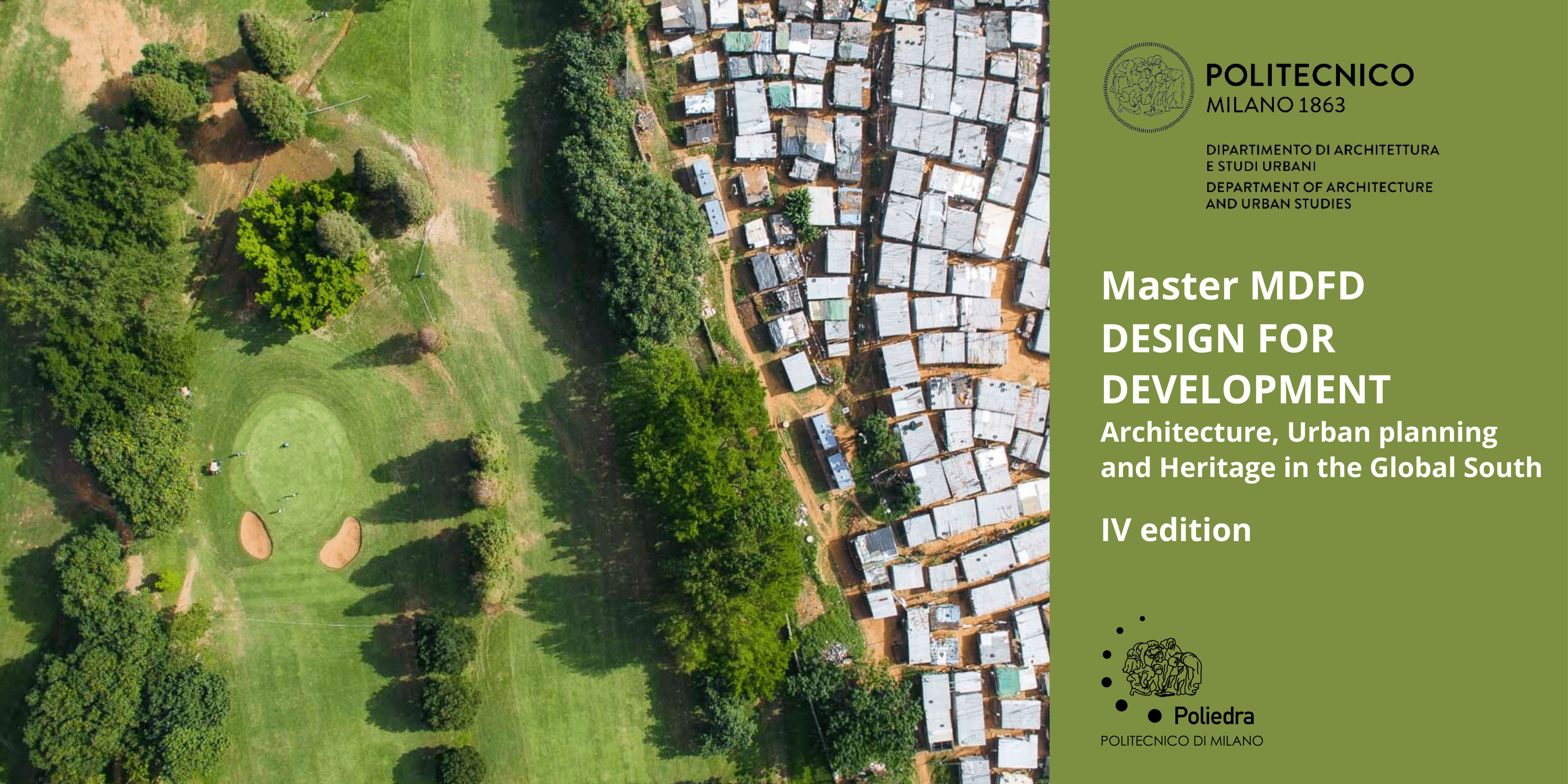
From November 2024
design for development architecture, urban planning and heritage in the global south
- Edition 4
- 2nd Level Specializing Master
-

From November 2024
innovatiove and educational technologies
- Edizione 17
- 2nd Level Specializing Master
-

-
-
-
